Seerab AgriTech – DigiFarm Solutions & Services
Let us help you achieve your goals
Thinking spatially, solving problems, together.
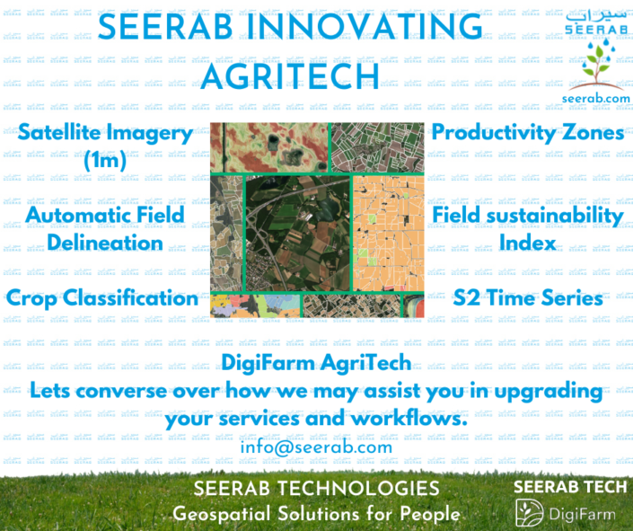
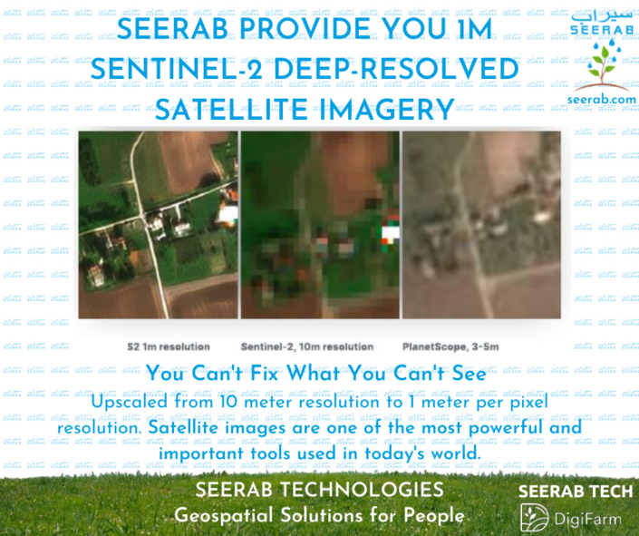
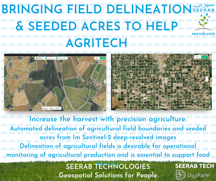
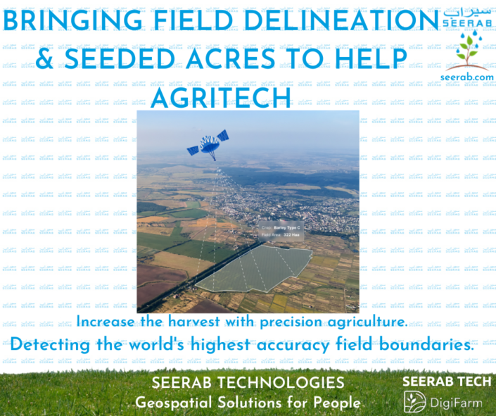
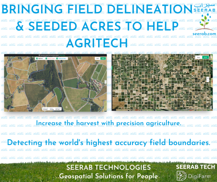
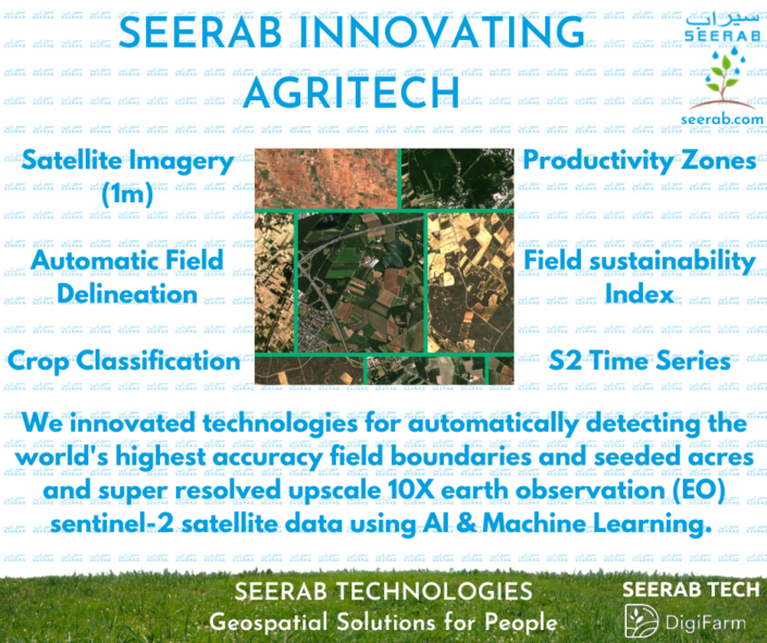
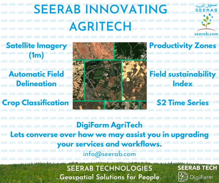
Innovated technologies for automatically detecting the World’s Highest Accuracy Field Boundaries and Seeded Acres and super resolved upscale 10X earth observation (EO) sentinel-2 satellite data using AI & Machine Learning. Ready to use innovative earth observation Satellite Imagery & AgriTech solution.
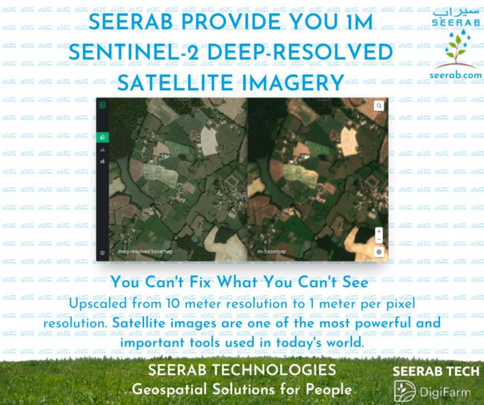
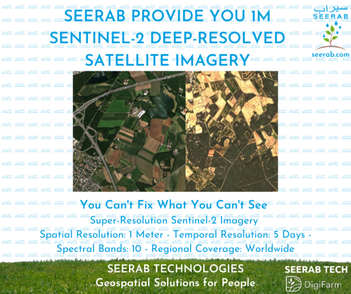
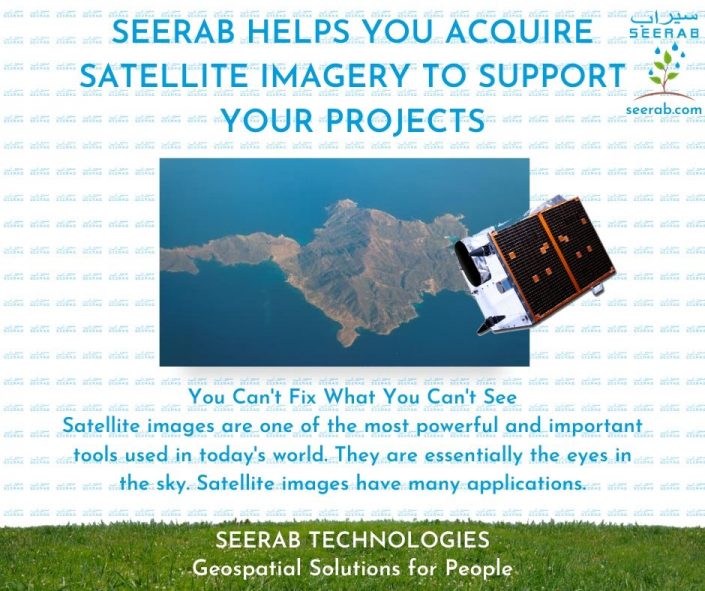
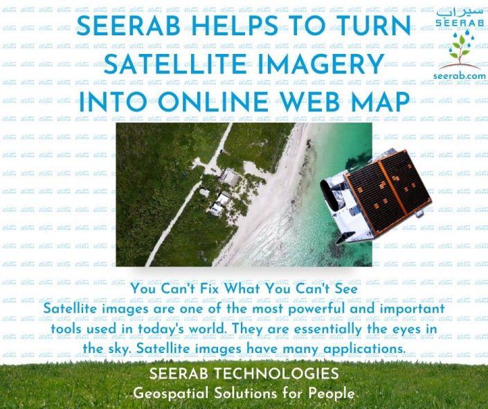
Satellite images are one of the most powerful and important tools we have for monitoring the earth. Sentinel-2 Super Resolution 1 meter Satellite Imagery with 10 Spectral Band and 5 days Temporal Resolution (none other EO provider has all these features) which is good for e.g. base maps, monitoring & agriculture etc.
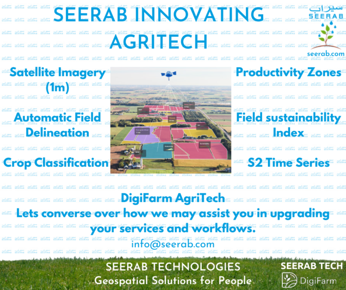
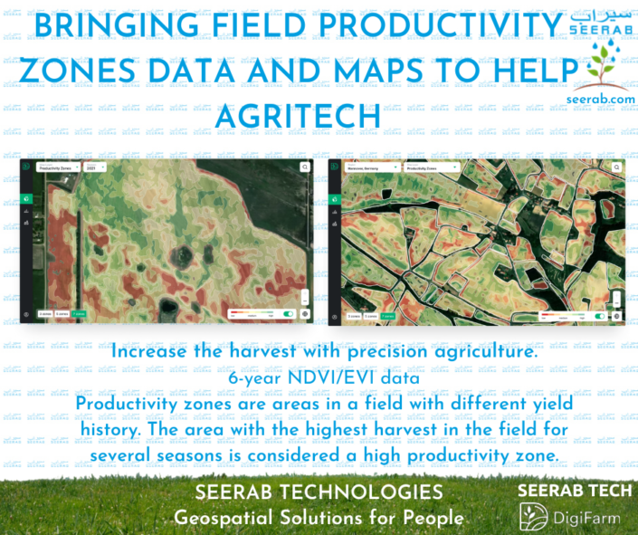
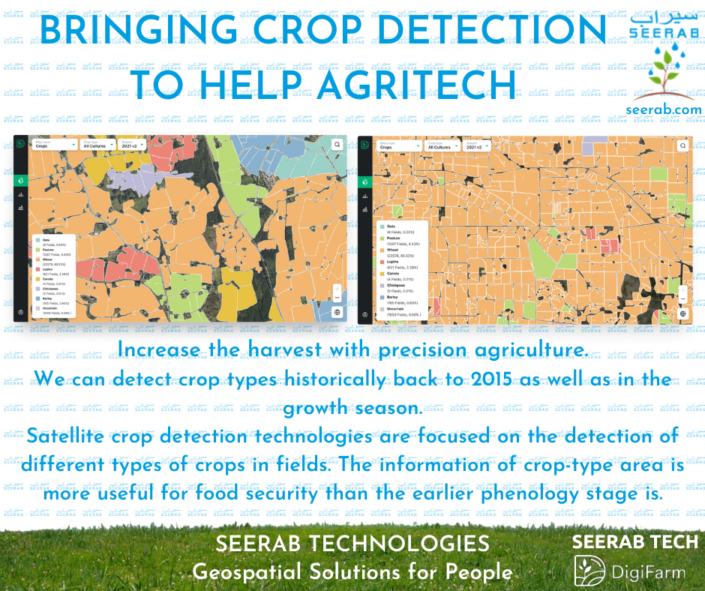
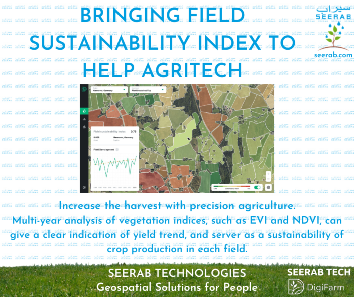
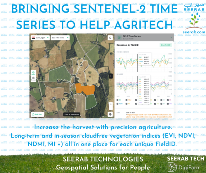
Providing Boundary Delineation (world’s most accurate field boundaries) & Seeded Acres, Productivity zones, Field Sustainability Index, Crop Detection, Sentenel-2 Time Series using AI & Machine Learning for agriculture.
Lets converse over how we may assist you in upgrading your services and workflows.
