Seerab
  • Home
  • Services
  • Gigs
  • Real Estate Maps
  • Umrah Hajj Maps
  • AgriTech
  • Love Letters
  • Projects
  • Blog
  • About Us
  • Contact Us
  • Click to open the search input field Click to open the search input field Search
  • Menu Menu
Big Images

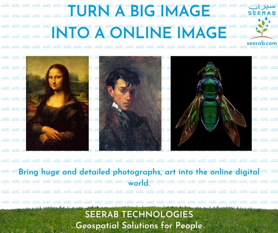
Turn A Big Image Into An Online Image

in Services

Seerab Technologies – Geospatial Solutions for People

https://www.seerab.com

Tags: Seerab Services, Services
Share this entry
  • Facebook Facebook Share on Facebook
  • Square-x-twitter Square-x-twitter Share on X
  • Whatsapp Whatsapp Share on WhatsApp
  • Pinterest Pinterest Share on Pinterest
  • Linkedin Linkedin Share on LinkedIn
  • Mail Mail Share by Mail
https://www.seerab.com/wp-content/uploads/2020/07/17.jpg 788 940 Author https://seerab.com/wp-content/uploads/2017/04/Seerab-Logo-Landscape-Website-300x113.png Author2021-11-22 13:00:492025-05-05 16:34:26Turn A Big Image Into An Online Image
You might also like
Geospatial Data Development Geospatial & Spatial Data Development
Field Sustainability IndexSeerab Tech Bringing Field Sustainability Index to Help Agritech
Enterprise Cloud GIS Enterprise Cloud GIS
Field Delineation & seeded acresSeerab Tech Bringing Field Delineation & Seeded Acres to Help Agritech
Housing Master Plan Maps Bringing Housing Master Plan Into Online Web Map
Seerab Agri Tech ServicesSeerab Tech Seerab AgriTech Services
Seerab Satellite ImagerySeerab Tech Seerab Provide you 1 meter Sentinel-2 Deep-resolved Satellite Imagery
ield Delineation & seeded acresSeerab Tech Bringing Field Delineation & Seeded Acres to Help Agritech
Copyright © Seerab Technologies ------- Privacy Policy ------- Terms of Use - Enfold Theme by Kriesi
  • Link to Facebook Link to Facebook Link to Facebook
  • Link to LinkedIn Link to LinkedIn Link to LinkedIn
  • Link to Youtube Link to Youtube Link to Youtube
  • Link to Pinterest Link to Pinterest Link to Pinterest
  • Link to WhatsApp Link to WhatsApp Link to WhatsApp
  • Link to X Link to X Link to X
Link to: Connecting Two Worlds CAD/BIM & GIS Link to: Connecting Two Worlds CAD/BIM & GIS Connecting Two Worlds CAD/BIM & GISCAD/BIM to GIS Link to: Bringing Data Into Google Earth Link to: Bringing Data Into Google Earth Google Earth DataBringing Data Into Google Earth
Scroll to top Scroll to top Scroll to top