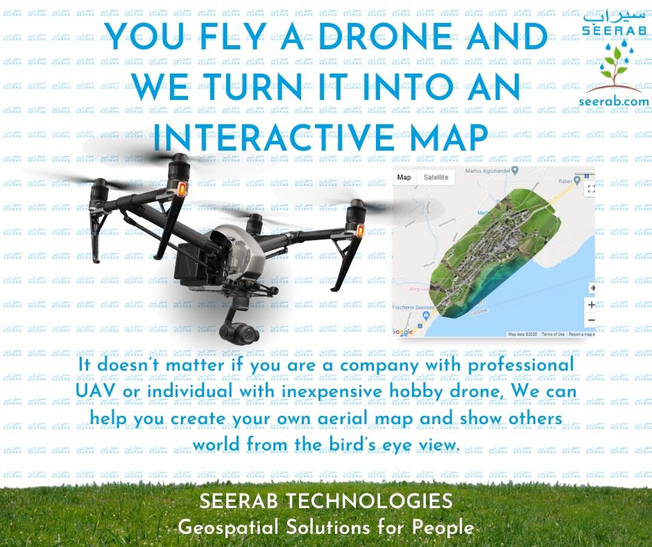
You Fly A Drone And We Turn It Into An Interactive Map
You Fly a Drone — We Turn It Into an Interactive Map
🔍 Seerab Technologies – Pakistan’s Leading Drone Mapping & Geospatial Solution
Turn your drone footage into powerful interactive aerial maps with Seerab.
Whether you’re a real estate developer, farmer, or urban planner, we help you visualize, analyze, and share your land data in a smarter way.
✅ Use Cases:
• Construction & Real Estate Development
• Agriculture & Land Surveying
• Environmental Monitoring
• Infrastructure Planning
💼 Why Choose Seerab Drone Mapping?
✔ Converts UAV data into accurate, interactive maps
✔ High-resolution visuals & fast processing
✔ Seamless integration with Seerab Maps
✔ Trusted across Pakistan since 2016
💡 See your world from a new perspective — the bird’s-eye view.
🎥 Check out our demo: https://www.seerab.com/services/
🌐 Visit: www.seerab.com
📞 Book your consultation today!
#DroneMapping #Geospatial #GIS #AerialMapping #PropTech #UrbanPlanning #SeerabTechnologies #SeerabMaps #PakistanTech #MappingSolutions #DroneTech #Surveying #Innovation


 Seerab Tech
 Seerab Tech

 Seerab Tech
