Seerab
  • Home
  • Services
  • Gigs
  • Real Estate Maps
  • Umrah Hajj Maps
  • AgriTech
  • Love Letters
  • Projects
  • Blog
  • About Us
  • Contact Us
  • Click to open the search input field Click to open the search input field Search
  • Menu Menu
satellite Imagery acquisition

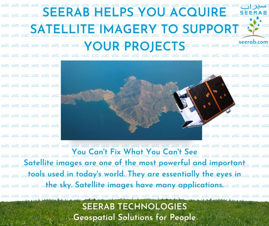
Acquire Satellite Imagery To Support Your Projects

in Services

Seerab Technologies – Geospatial Solutions for People

https://www.seerab.com

Tags: Seerab Services, Services
Share this entry
  • Facebook Facebook Share on Facebook
  • Square-x-twitter Square-x-twitter Share on X
  • Whatsapp Whatsapp Share on WhatsApp
  • Pinterest Pinterest Share on Pinterest
  • Linkedin Linkedin Share on LinkedIn
  • Mail Mail Share by Mail
https://www.seerab.com/wp-content/uploads/2020/07/3.jpg 788 940 Author https://seerab.com/wp-content/uploads/2017/04/Seerab-Logo-Landscape-Website-300x113.png Author2021-11-22 16:02:362025-05-05 16:23:43Acquire Satellite Imagery To Support Your Projects
You might also like
Housing Master Plan Maps Bringing Housing Master Plan Into Online Web Map
Drone Maps You Fly A Drone And We Turn It Into An Interactive Map
Seerab Maps – Best Innovation in Real Estate
Navigational Chart Maps Bringing Navigational Chart Maps Into Online Web Map
Field Delineation & seeded acresSeerab Tech Bringing Field Productivity Zones Data and Maps to Help Agritech
Enterprise Cloud GIS Enterprise Cloud GIS
Sentinel-2 Deep-Resolved 1 meter Satellite ImagerySeerab Tech Seerab Provide you 1 meter Sentinel-2 Deep-resolved Satellite Imagery
Google Earth Data Bringing Data Into Google Earth
Copyright © Seerab Technologies ------- Privacy Policy ------- Terms of Use - Enfold Theme by Kriesi
  • Link to Facebook Link to Facebook Link to Facebook
  • Link to LinkedIn Link to LinkedIn Link to LinkedIn
  • Link to Youtube Link to Youtube Link to Youtube
  • Link to Pinterest Link to Pinterest Link to Pinterest
  • Link to WhatsApp Link to WhatsApp Link to WhatsApp
  • Link to X Link to X Link to X
Link to: Bringing Historical Maps Into The Online Digital World Link to: Bringing Historical Maps Into The Online Digital World Bringing Historical Maps Into The Online Digital WorldHistorical Maps Link to: Turn Satellite Imagery Into Online Web Map Link to: Turn Satellite Imagery Into Online Web Map Satellite Images MapsTurn Satellite Imagery Into Online Web Map
Scroll to top Scroll to top Scroll to top