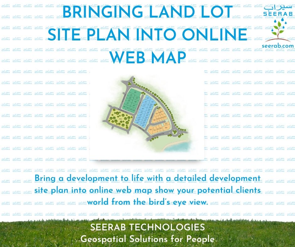
https://www.seerab.com/wp-content/uploads/2020/07/12.jpg788940Authorhttps://seerab.com/wp-content/uploads/2017/04/Seerab-Logo-Landscape-Website-300x113.pngAuthor2021-11-22 15:43:242025-12-23 00:57:20Bringing Land Lot Site Plan Into Online Web Map
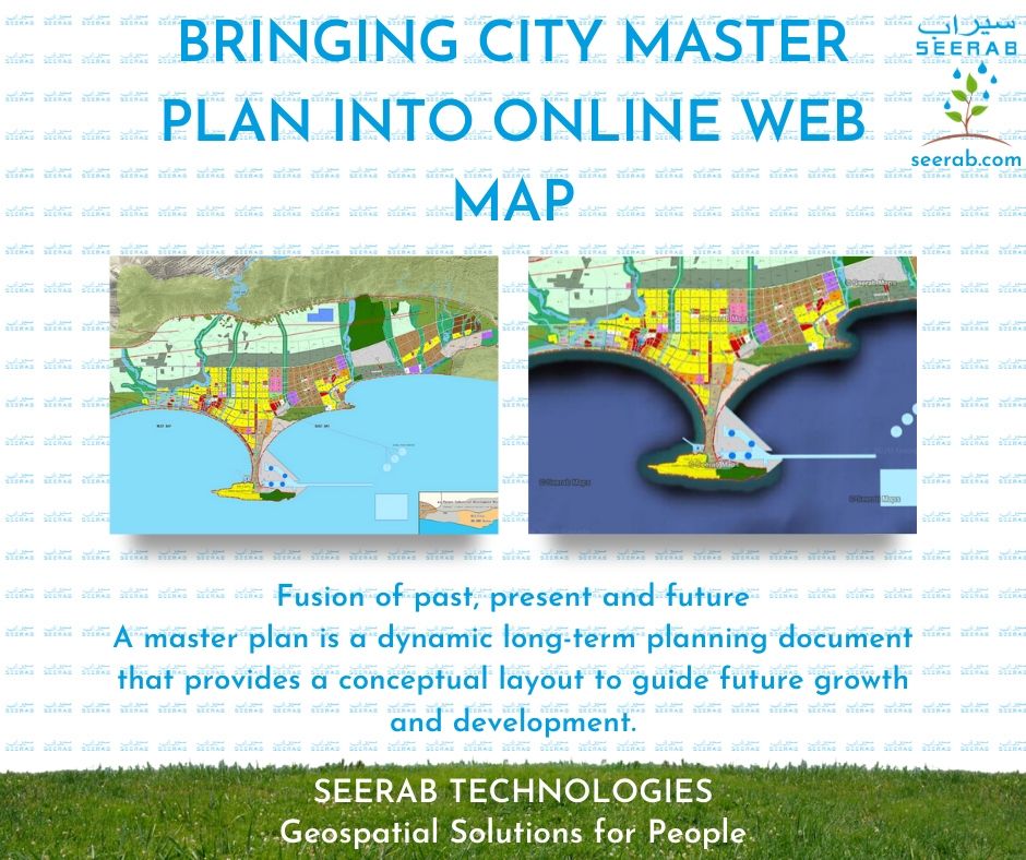
https://www.seerab.com/wp-content/uploads/2020/07/13.jpg788940Authorhttps://seerab.com/wp-content/uploads/2017/04/Seerab-Logo-Landscape-Website-300x113.pngAuthor2021-11-22 15:41:012025-12-23 00:54:42Bringing City Master Plan Into Online Web Map
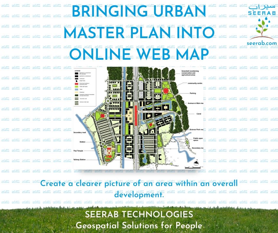
https://www.seerab.com/wp-content/uploads/2020/07/14.jpg788940Authorhttps://seerab.com/wp-content/uploads/2017/04/Seerab-Logo-Landscape-Website-300x113.pngAuthor2021-11-22 15:39:152025-12-23 01:03:16Bringing Urban Master Plan Into Online Web Map
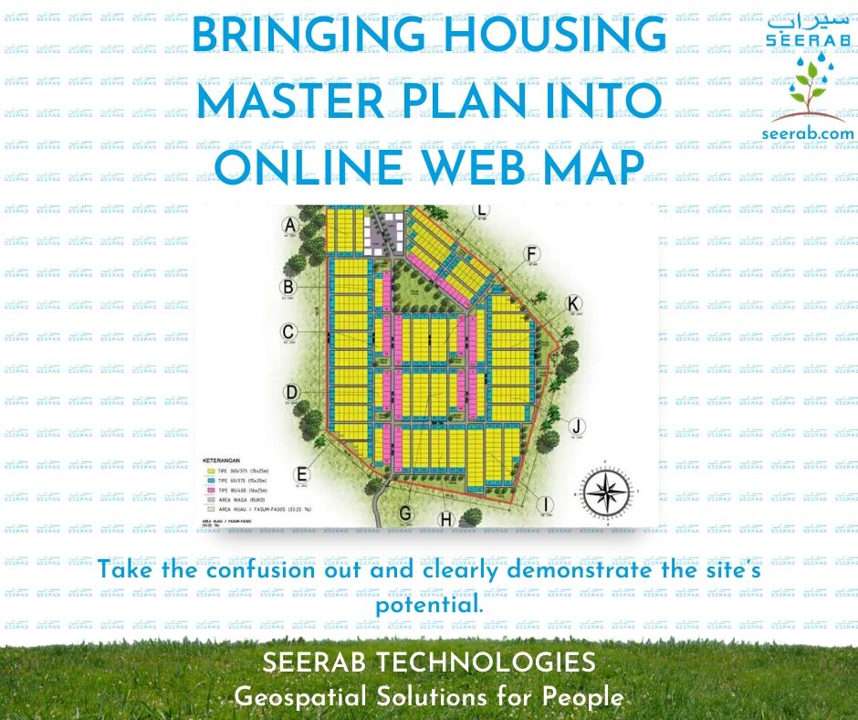
https://www.seerab.com/wp-content/uploads/2020/07/15.jpg788940Authorhttps://seerab.com/wp-content/uploads/2017/04/Seerab-Logo-Landscape-Website-300x113.pngAuthor2021-11-22 15:36:462025-12-23 01:01:12Bringing Housing Master Plan Into Online Web Map
https://www.seerab.com/wp-content/uploads/2020/07/16.jpg788940Authorhttps://seerab.com/wp-content/uploads/2017/04/Seerab-Logo-Landscape-Website-300x113.pngAuthor2021-11-22 13:02:552025-05-05 16:34:10Bringing Data Into Google Earth
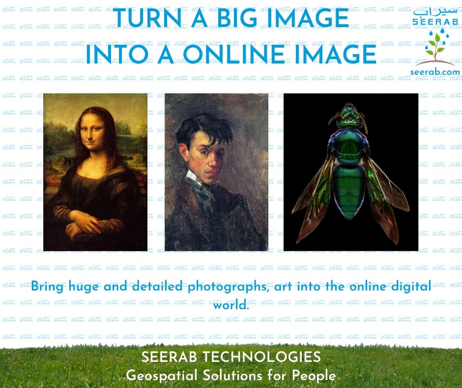
https://www.seerab.com/wp-content/uploads/2020/07/17.jpg788940Authorhttps://seerab.com/wp-content/uploads/2017/04/Seerab-Logo-Landscape-Website-300x113.pngAuthor2021-11-22 13:00:492025-05-05 16:34:26Turn A Big Image Into An Online Image
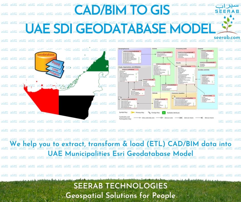
https://www.seerab.com/wp-content/uploads/2020/07/19.jpg788940Authorhttps://seerab.com/wp-content/uploads/2017/04/Seerab-Logo-Landscape-Website-300x113.pngAuthor2021-11-22 12:56:322025-05-05 16:35:15CAD/BIM To GIS UAE SDI Geodatabase Model
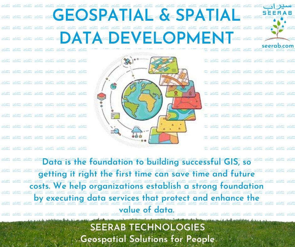
https://www.seerab.com/wp-content/uploads/2020/07/21.jpg788940Authorhttps://seerab.com/wp-content/uploads/2017/04/Seerab-Logo-Landscape-Website-300x113.pngAuthor2021-11-22 12:51:112025-12-23 01:22:25Geospatial & Spatial Data Development