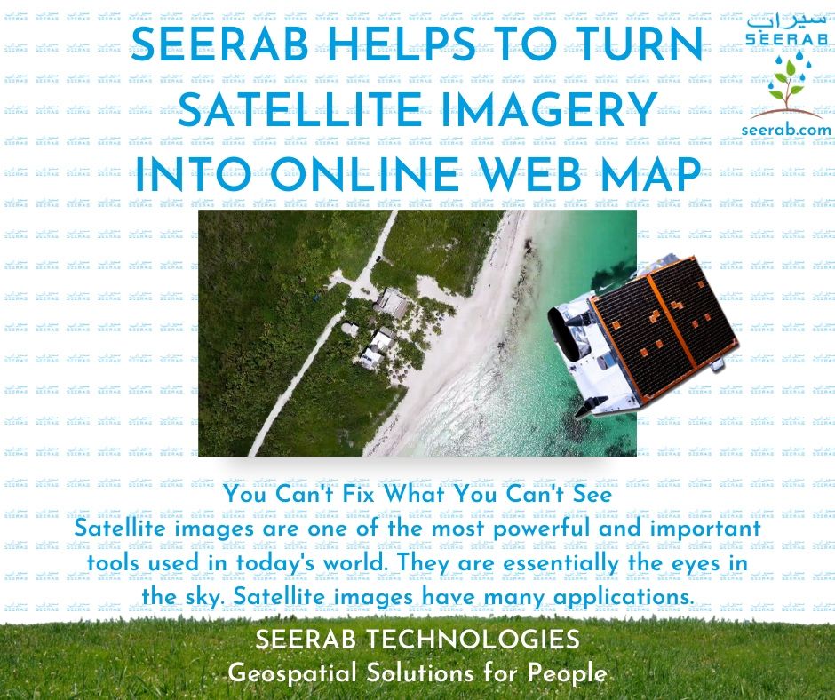
https://www.seerab.com/wp-content/uploads/2020/07/2.jpg788940Authorhttps://seerab.com/wp-content/uploads/2017/04/Seerab-Logo-Landscape-Website-300x113.pngAuthor2021-11-22 16:07:202025-05-05 16:23:28Turn Satellite Imagery Into Online Web Map
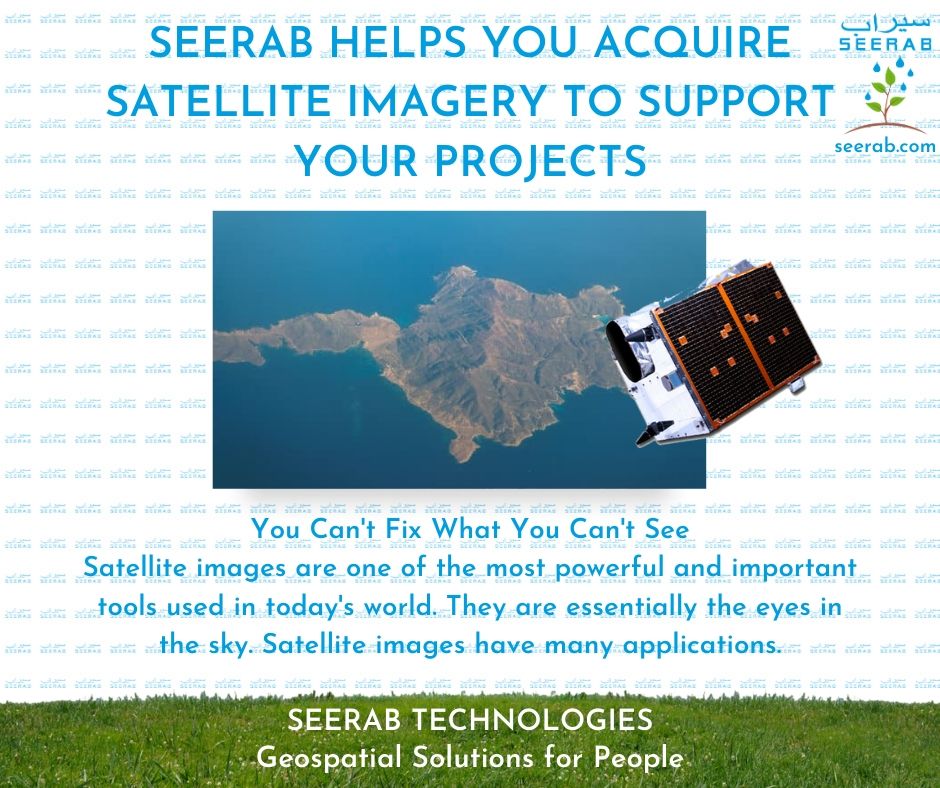
https://www.seerab.com/wp-content/uploads/2020/07/3.jpg788940Authorhttps://seerab.com/wp-content/uploads/2017/04/Seerab-Logo-Landscape-Website-300x113.pngAuthor2021-11-22 16:02:362025-05-05 16:23:43Acquire Satellite Imagery To Support Your Projects
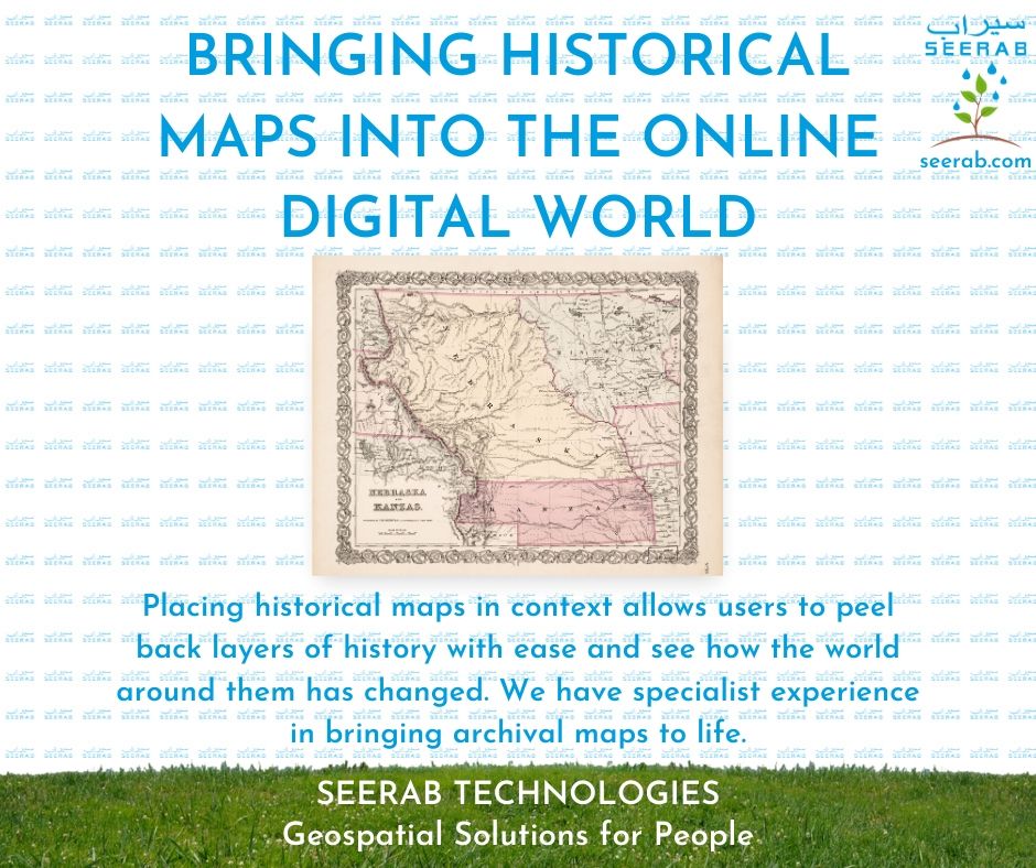
https://www.seerab.com/wp-content/uploads/2020/07/4.jpg788940Authorhttps://seerab.com/wp-content/uploads/2017/04/Seerab-Logo-Landscape-Website-300x113.pngAuthor2021-11-22 15:59:232025-05-05 16:23:56Bringing Historical Maps Into The Online Digital World
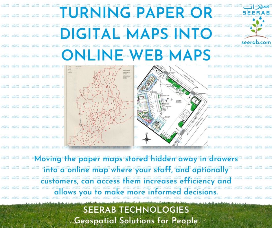
https://www.seerab.com/wp-content/uploads/2020/07/6.jpg788940Authorhttps://seerab.com/wp-content/uploads/2017/04/Seerab-Logo-Landscape-Website-300x113.pngAuthor2021-11-22 15:55:582025-05-05 16:24:26Turning Paper Or Digital Maps Into Online Web Maps
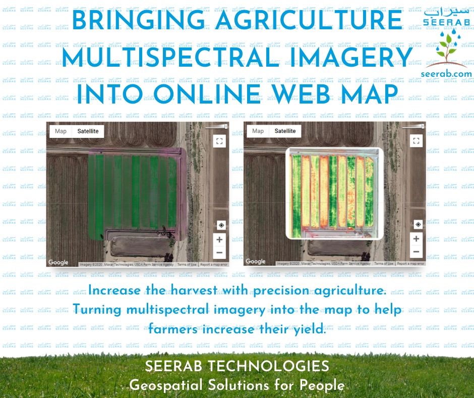
https://www.seerab.com/wp-content/uploads/2020/07/10.jpg788940Authorhttps://seerab.com/wp-content/uploads/2017/04/Seerab-Logo-Landscape-Website-300x113.pngAuthor2021-11-22 15:47:102025-05-05 16:32:20Bringing Agriculture Multispectral Imagery Into Online Web Map
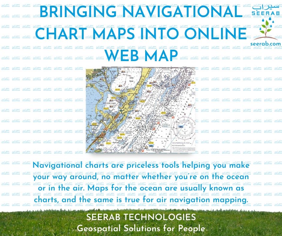
https://www.seerab.com/wp-content/uploads/2020/07/11.jpg788940Authorhttps://seerab.com/wp-content/uploads/2017/04/Seerab-Logo-Landscape-Website-300x113.pngAuthor2021-11-22 15:45:182025-05-05 16:32:44Bringing Navigational Chart Maps Into Online Web Map