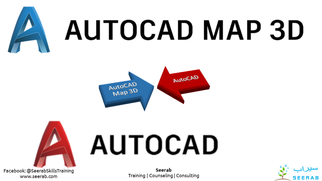
AutoCAD Map 3D vs AutoCAD
Compare AutoCAD Map 3D vs. AutoCAD
AutoCAD Map 3D is GIS mapping software that includes the tools and functionality of AutoCAD.
AutoCAD Map 3D
Utilize and maintain CAD and GIS data to support planning, design, and data management.
USE FOR:
GIS analysis and planning
Gathering existing conditions data
Converting GIS data into CAD data
WHAT IT DOES:
Create thematic maps for analysis
Perform data queries
Build topologies
Utilize georeferenced Imagery
Connect to multiple external data sources
LICENSING:
Single-user
Multi-user (networked) licenses available
INCLUDES:
A360 collaboration tool
AutoCAD mobile app
https://www.autodesk.com/products/autocad-map-3d/overview
AutoCAD
Design every detail with 2D and 3D CAD software. Share drawings across desktop, cloud, and mobile.
USE FOR:
2D drafting, drawings, and documentation
3D modeling and visualization
WHAT IT DOES:
Create and edit 2D geometry.
Create and edit 3D models with solids, surfaces, and mesh objects.
Annotate drawings with text, dimensions, leaders, and tables.
Customize the ribbon and tool palettes.
Customize with add-on apps and APIs.
Extract object data to tables.
Attach and import data from PDF files.
Share and use data from and DGN files, Navisworks, and Bing Maps.
Apply and monitor CAD standards.
LICENSING:
Single-user
Multi-user (network)
INCLUDES:
Access to the Autodesk App Store
AutoCAD mobile app


